
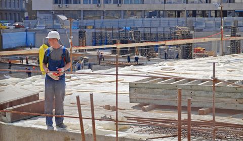
SERVICES
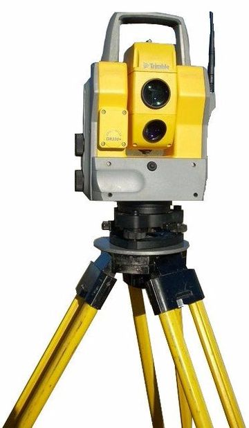
Land Surveying Services
K & R Land Surveyors, Inc.
has been providing affordably-priced, high-quality surveying and mapping services since 2006. We are certified by the state of South Carolina, so you can feel confident in choosing our firm for your land surveying needs. We also offer timely and cost-effective land planning services, which help to increase our clients’ ROI. We are large enough to do our job right the first time, yet small enough to care.
Listed below are brief descriptions of different types of land surveying services offered by K & R Land Surveyors, Inc.
Boundary Survey
This is essentially a retrace survey of an existing boundary. The boundary surveyed will have all property corners identified and missing property corners replaced. A map will be produced showing the property lines labeled with metes and bounds, total acreage calculated and improvements are shown on the map.
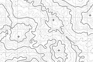
Topography
This is a survey showing all difference in elevation whether man-made (ditch) or natural (swamp). The size of this survey varies from very small tracts to over 200 acres.

Farm/Timber Survey
This survey is normally provided for a timber company. It will identify the boundary for the harvesting of timber. A map will accompany this survey upon request.
Closing / Loan Mortgage Survey
This type of survey is normally required by a lending institution. A map will be produced showing structures, easements, encroachments or projections.
Residents of the Conway area; ask K & R Land Surveyors about the steps you need to take at 843-488-1804


Elevation Certificate
This will certify the elevation and flood zone of the property. This certificate can be provided by a professional South Carolina land surveyor and it will certify the ground elevation with respect to the flood zone. This certificate is used by FEMA
as a tool for qualifying for flood insurance.
What is FEMA?
Wetland Surveys
From a South Carolina land surveyor's point of view, this type of survey identifies ecological sensitive areas of interest that may interfere with land development.


Land Subdivision Survey
This type of survey will divide out a portion of land from the parent tract. A map will be produced describing the property and the intent of the survey.
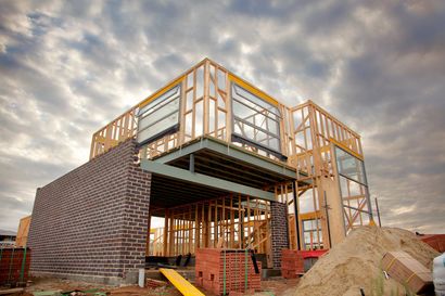
As-built Surveys
An As-Built Survey is needed to record and compare the variations of the original architectural plans versus what is actually built.

Estate Surveys/ Planning
K & R Land Surveyors
takes pride in providing land planning ideas. An estate survey normally consists of a complete boundary survey of the property. The next step may be to create tracts of land equal in value, acreage, and accessibility.
Plat Preparation
We offer plat preparation to help coordinate with the landowners, architects, engineers, and any other persons involved in the development of new property or construction.

A.L.T.A Survey
An ALTA survey comes from the American Land Title Association (ALTA) and may be necessary when buying a piece of property.
This survey shows the boundaries, location of improvements, all structures present, including fence, utility lines, roads, etc. This is one of the most detailed surveys available.
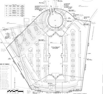
Site Plans
This survey uses a boundary and topography survey to base a future improvement on the property. An example would be a proposed residential dwelling or shopping center.
Copyright © 2018 | All Rights Reserved | Website Design by Data Publishing Corp